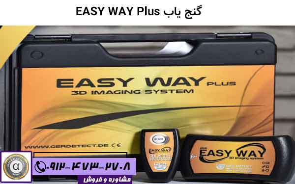
دستگاه فلزیاب و گنجیاب EMFAD – UG12 pro
اگر شما از هر کسی که در این زمینه تخصص و تجربه دارد در رابطه با فلزیاب یوجی 12 سوال بپرسید بدون شک این گنجیاب فوق حرفه ای رو تایید میکنن .شرکت EMFADآلمان این دستگاه رو به ویژگی هایی مجهز کرده که واقعا طبق ادعای خودشون اونو به بهترین گنجیاب تبدیل کرده . گنجیاب یو جی12 یک سیستم تصویری است که با مجهز بودن به نرم افزار های قوی تصاویر اسکن شده توسط دستگاه رو مورد تجزیه و تحلیل قرار میده . بدین گونه که موارد اسکن شده رو به خروجی دستگاه میده و ما این موارد رو به صورت سه بعدی در مانیتور لپ تاپی که همراه دستگاه است میبینیم که این سه بعدی بودن امکان بی نظیری رو به این دستگاه ارائه داده است .


- (ال) EMFAD* UG12 DS
- EMFAD*TAB
- EMFAD*UG12 DS
- EMFAD*ScanDs
- EMFAD* TRX2
ویژگی های بدنی ug12:
- وزن گنجیاب :2.5کیلو گرم .
- عمق زنی تا 12 متر .
- دارای نرم افزار ارزیابی 2Dو 3D .
- شرایط دمایی: -10 تا +55 درجه سانتی گراد .
The EMFAD – measuring method
It can locate :
The EMFAD – Technology has been successfully deployed in practice under various different climatic and geological conditions by professionals as well as by hobby researchers. Fields of application predominantly are archeology, geophysics, geology, hydrology and treasure loacating ( treasure hunting ) in very different application areas as archeological sites, industrial waste sites and waste deposits, building lots, mining ares, street – construction sites, military practice sites and other soil investigations. |
|||
 |
 |
||
Data output / exchange from EMFAD – UG12 – PRO to a Notebook ( or PC ) via RS – 232 or USB port interface for data processing with the evaluation- and presentation software EMFAD – Scan – PRO. |
|||
Technical Information : |
|||
Electromagnetic sensor system :
Receiver frequency range :
Microprocessor controlled measurement : Automatic mode :
Manual mode :
Datalogger :
Data point density :
|
Depth of localization :
Resolution :
Dimension / Weight :
Power supply :
Ambient teperature :
Data processing :
Data export :
|
||